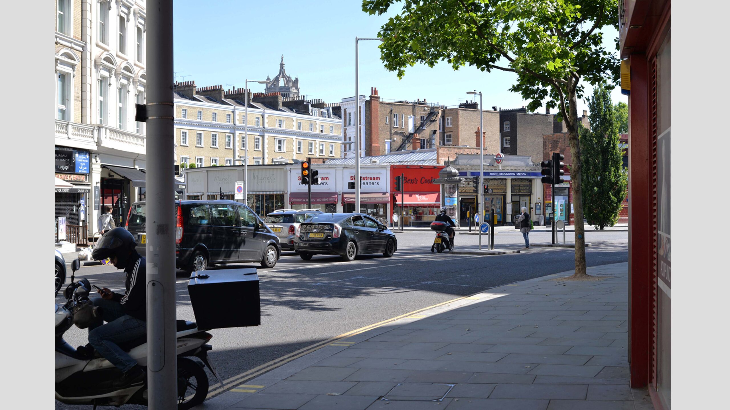
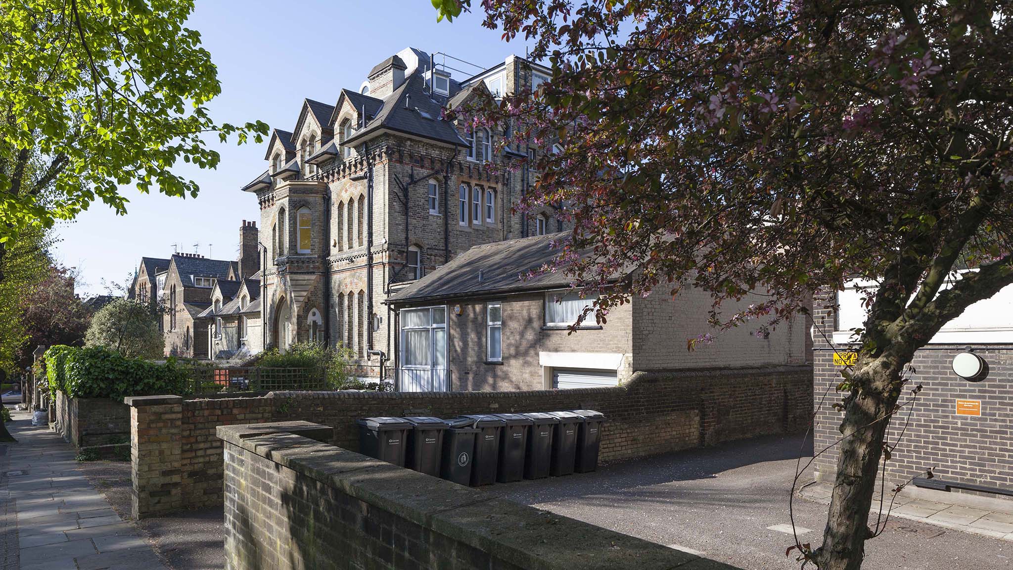
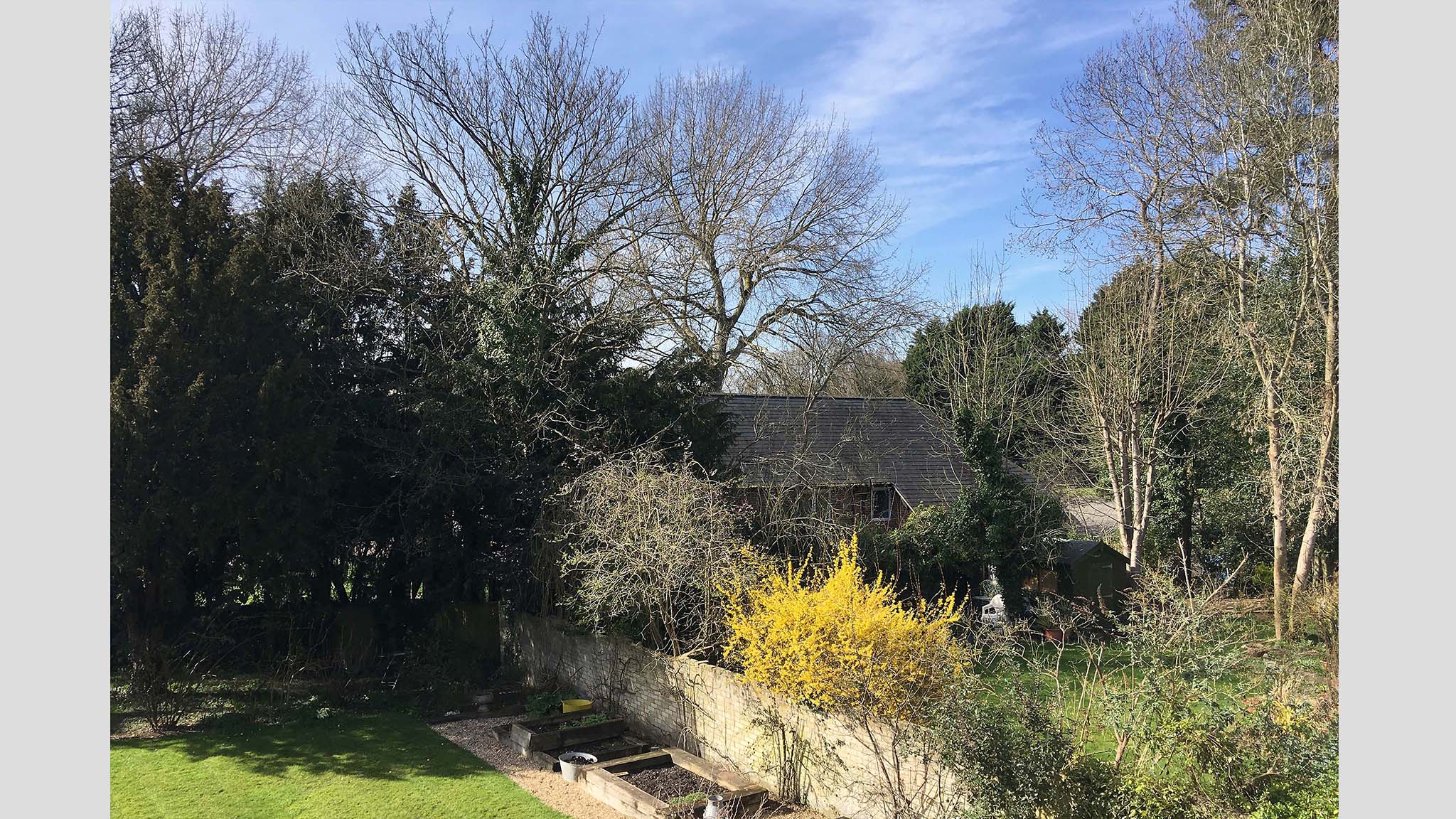
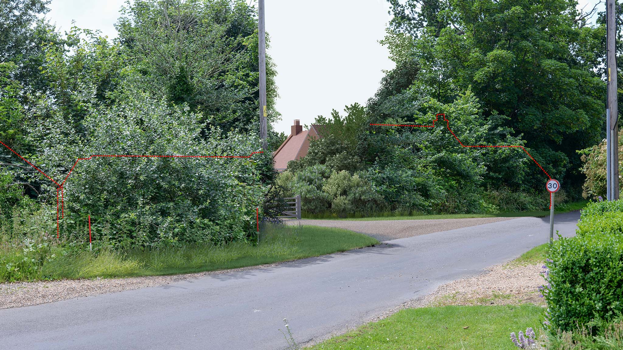
Verified Views
Survey-accurate photomontages and visual representations, used by architects, landscape architects and planning consultants. Produced to the standards required by UK planning authorities and The Landscape Institute.
What is a Verified View?
A Verified View is a precisely calculated photomontage. Verified views are also known as Accurate Visual Representations (AVR) and Visually Verified Montages (VVM). Camera location and key reference points are verified by survey. We work in partnership with Chartered Surveyors and our Verified Views are made with real world information, such as GPS locations, site-specific data and photographs. This process creates extremely accurate CGI images, including data and text as relevant.
Rendered Image has produced Verified Views for planning applications, planning appeals, and public enquiries. Audiences and users are reassured as to the accuracy of CGI images of architectural, landscaping and property development projects. Our work delivers confidence and transparency.

Methodology and Standards
Our process is fully compliant with industry best practice. This is outlined in
- Landscape Institutes Visual Representation of Development Proposals Technical Guidance Note 06/19 (June 2019)
- Scottish Natural Heritage Visual Representation of Wind Farms Guidance Version 2.2 (February 2017) and
- The Landscape Institute Guidelines for Landscape and Visual Impact Assessment, 3rd Edition (April 2013)
For each project we provide a detailed methodology that describes how we have worked. The document is suitable for submission as part of a Planning Application and Landscape Visual Impact Assessment (LVIA).
Survey data is imported into our 3D software to locate the camera and accurately align it with the 3D model of the proposed design.
There are 4 types of output designed to meet a variety of needs.
- Level 0 occluded coloured area
- Level 1 occluded wireframe
- Level 2 flat shaded single material model
- Level 3 full proposed material model and replication of lighting in the photograph
Design outputs
There are 4 types of output designed to meet a variety of needs:
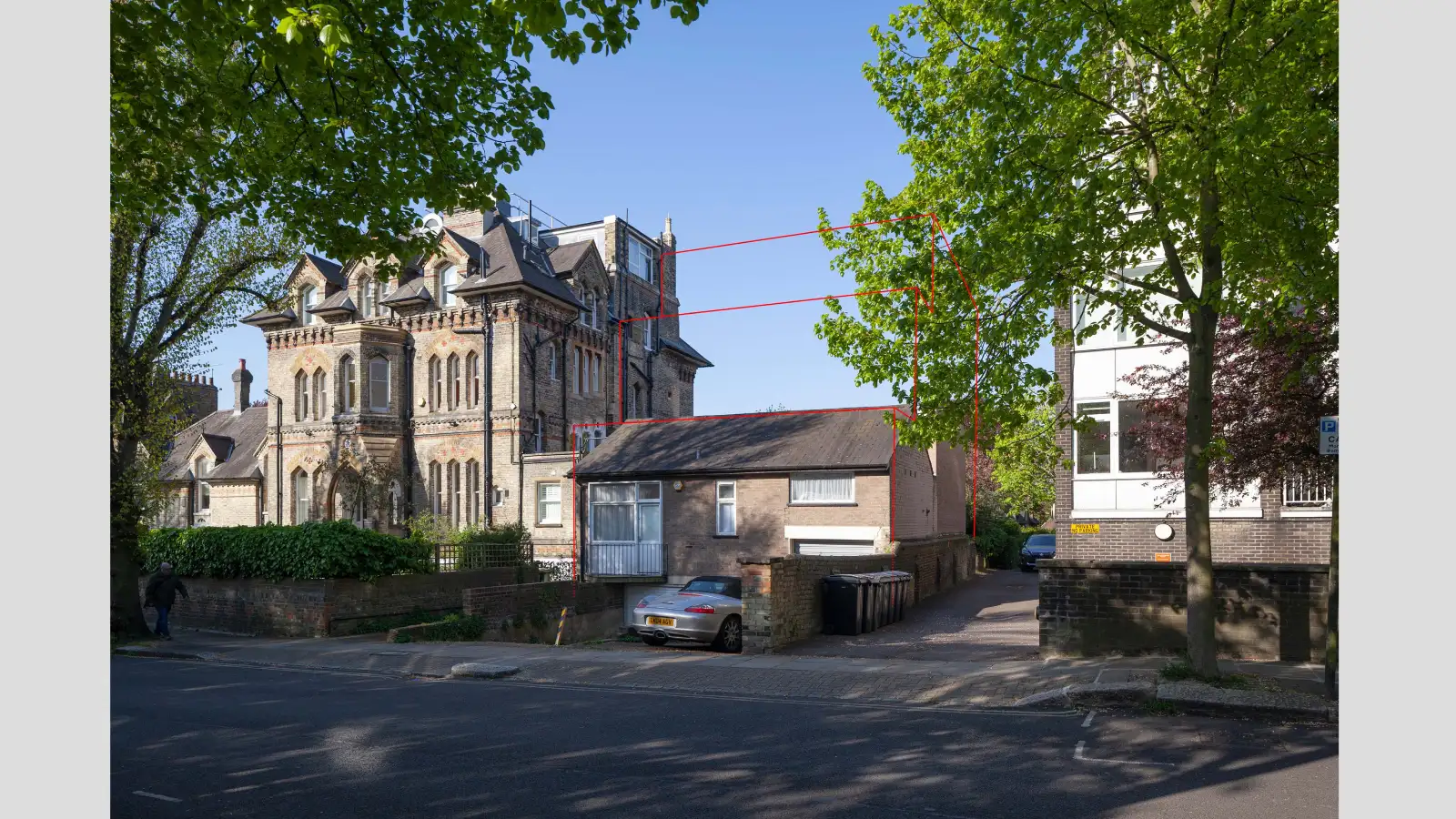
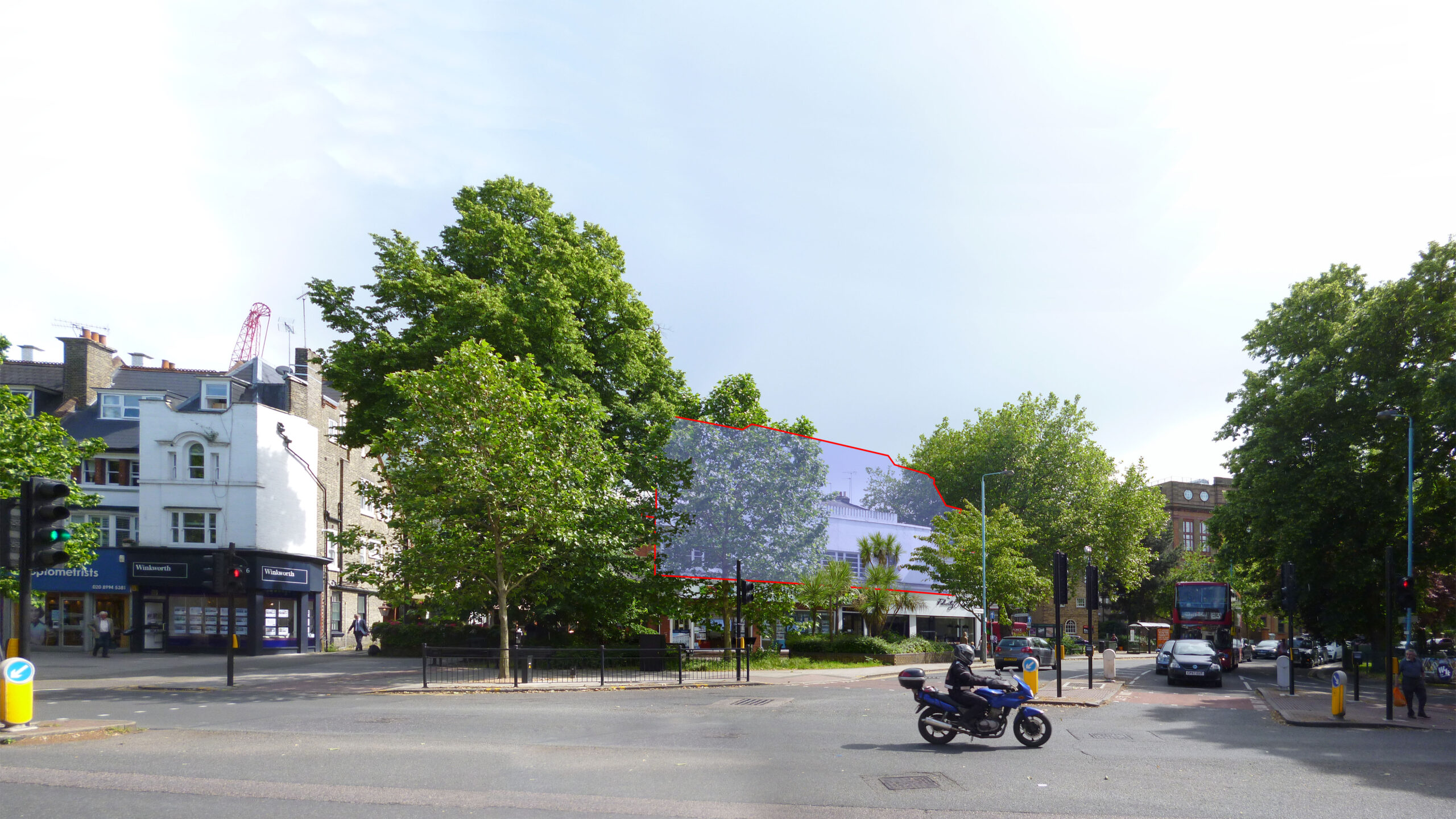
Occluded coloured area
A solid colour block placed within the photograph to indicate the position and extent of the proposed development.
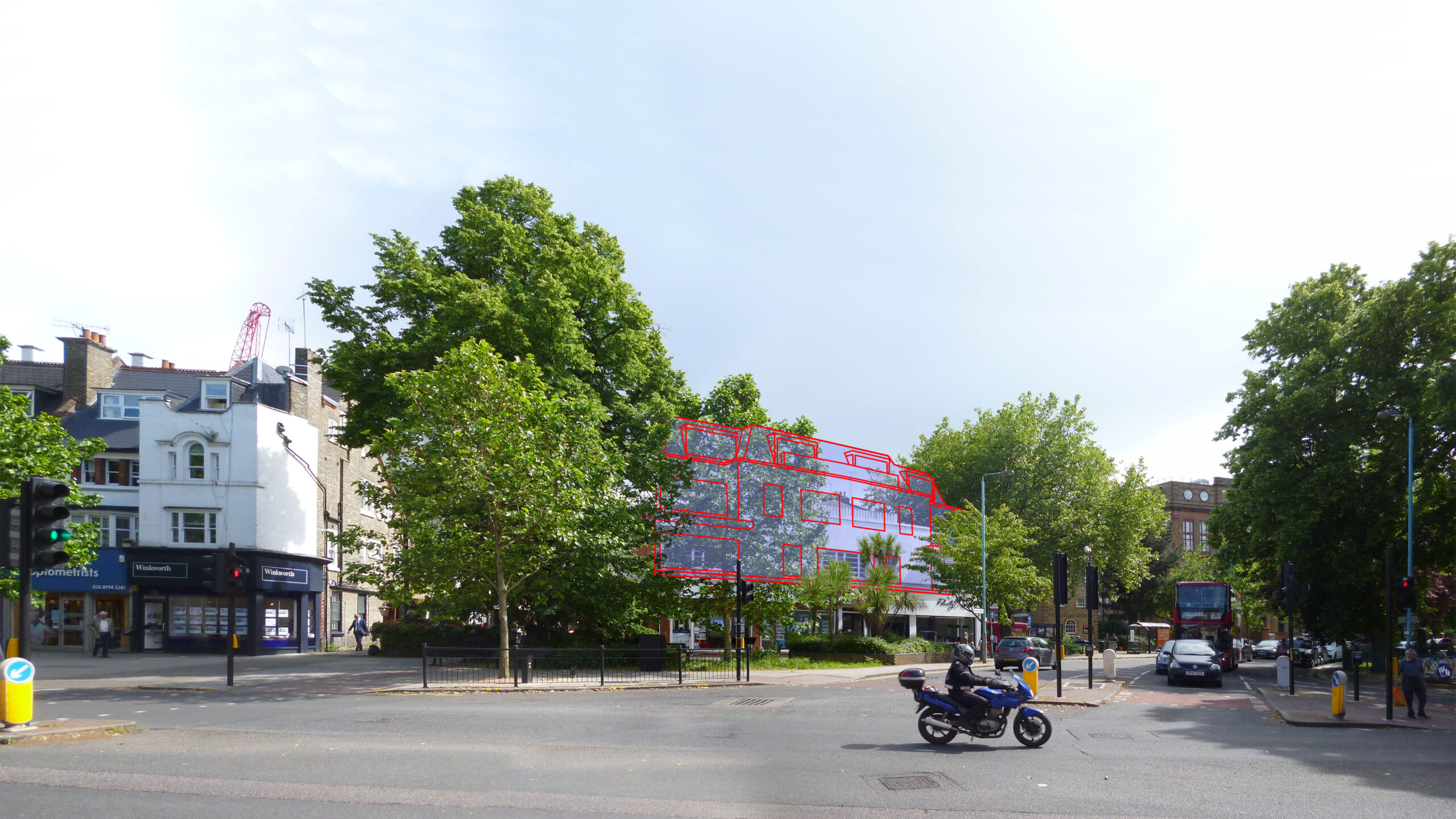
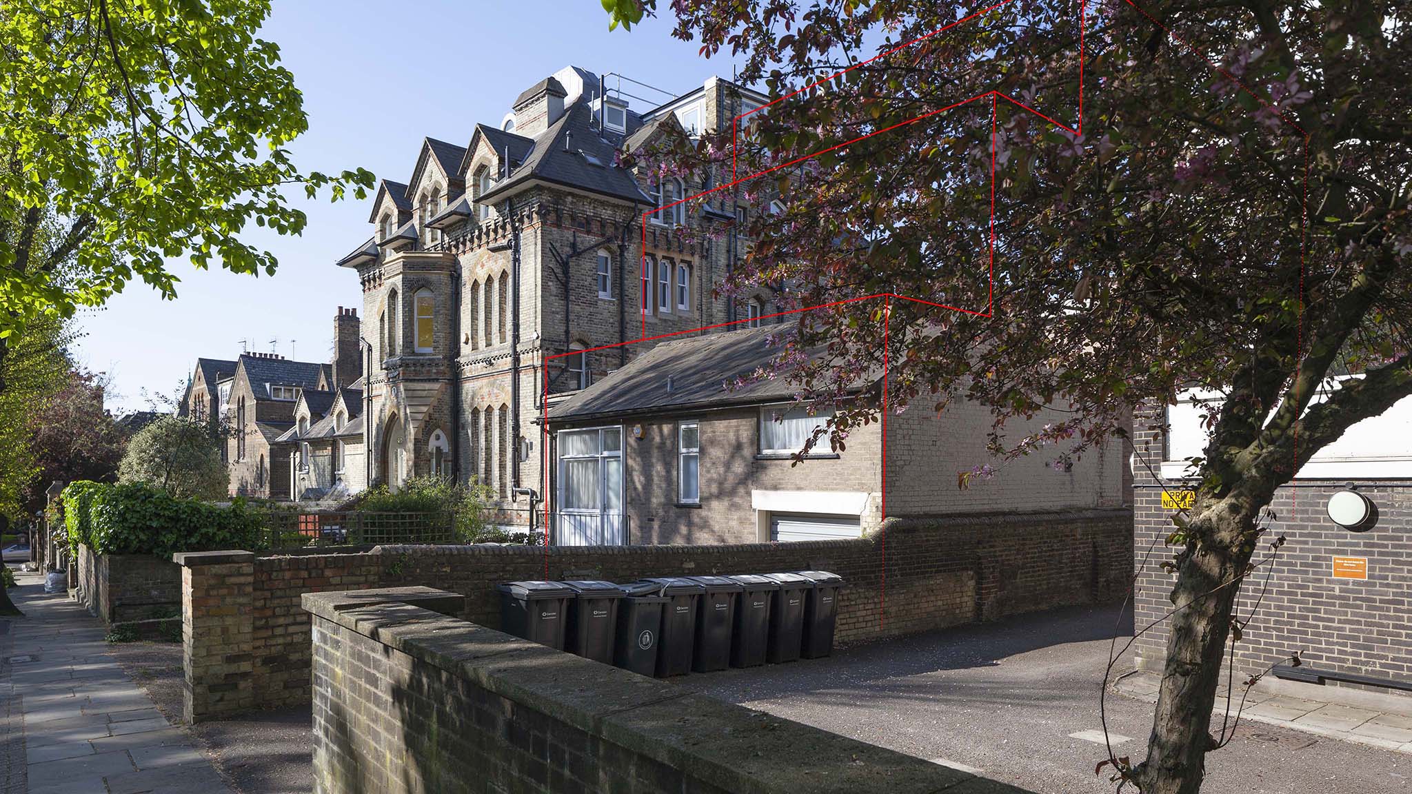
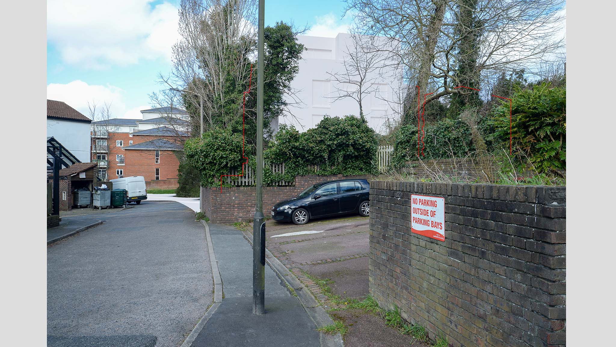
Occluded wireframe
A three-dimensional wireframe model showing the massing and form of the proposed development within its context.
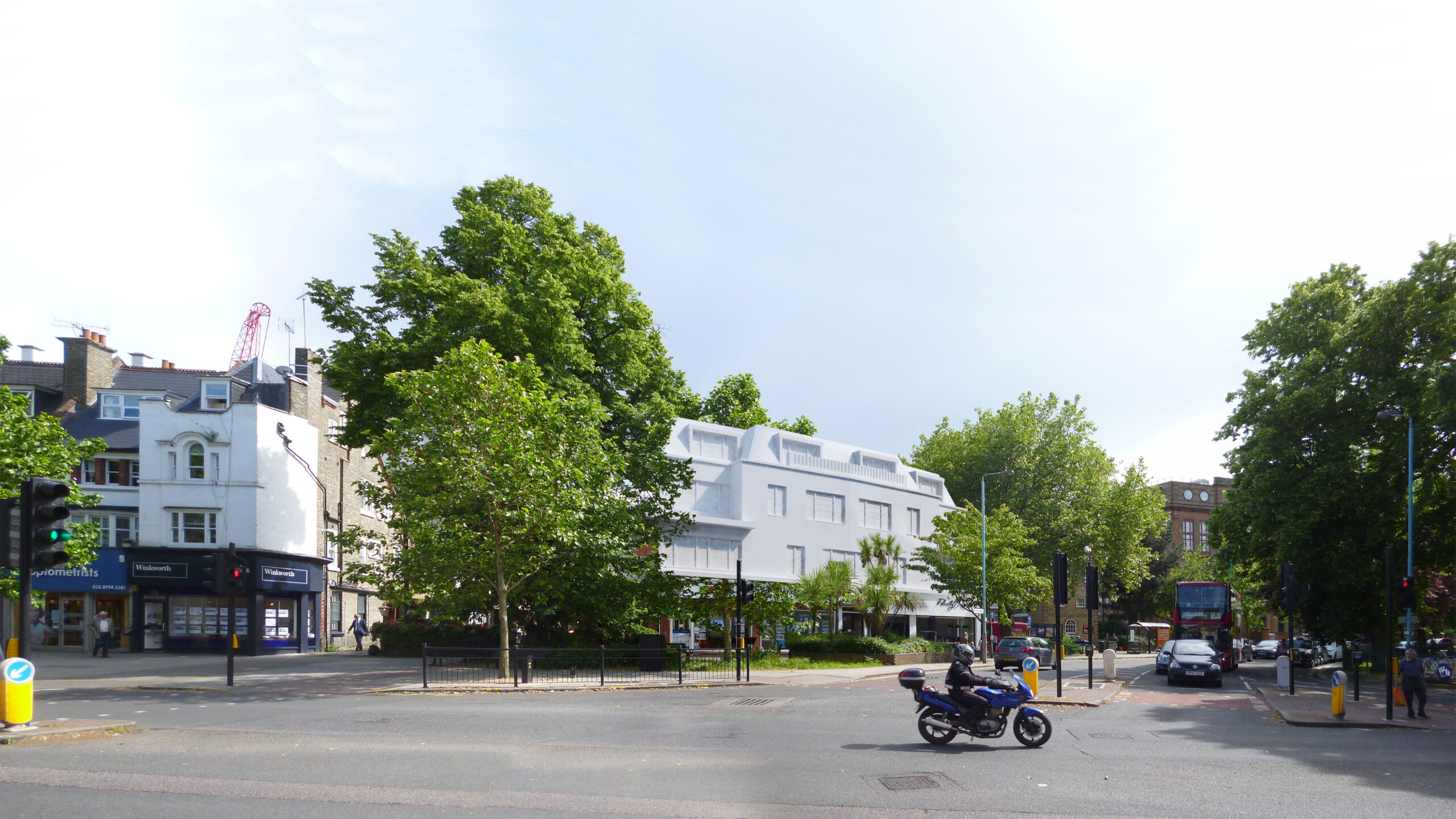
Flat shaded single material model
A single-material rendered model indicating built form and scale, without full material or lighting detail.
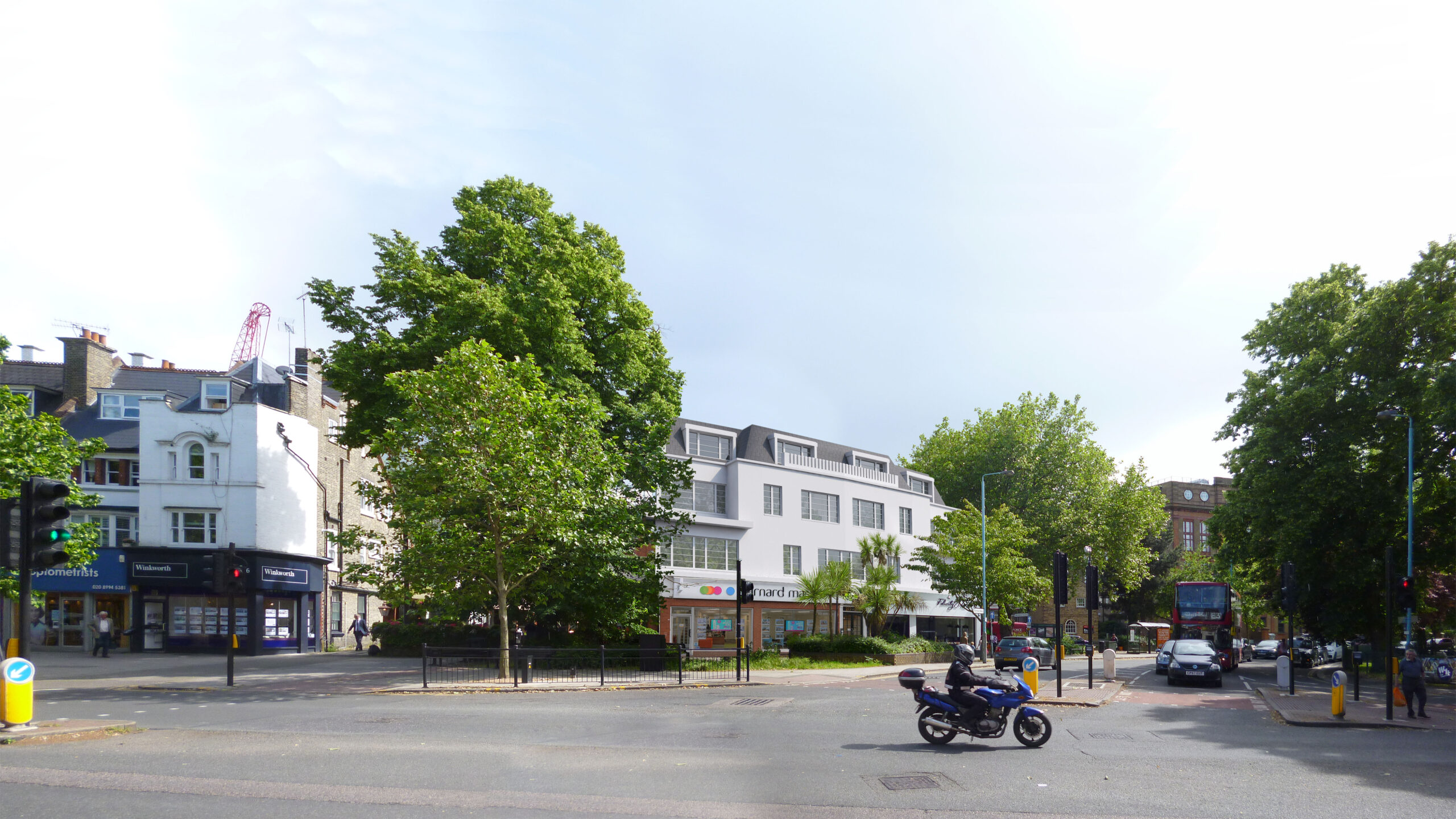
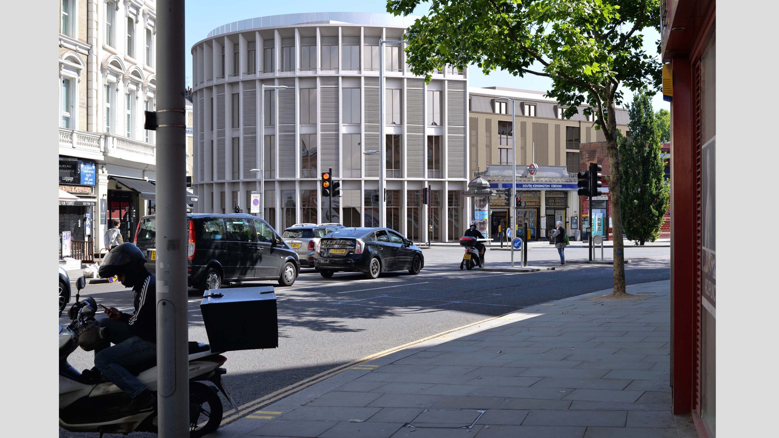
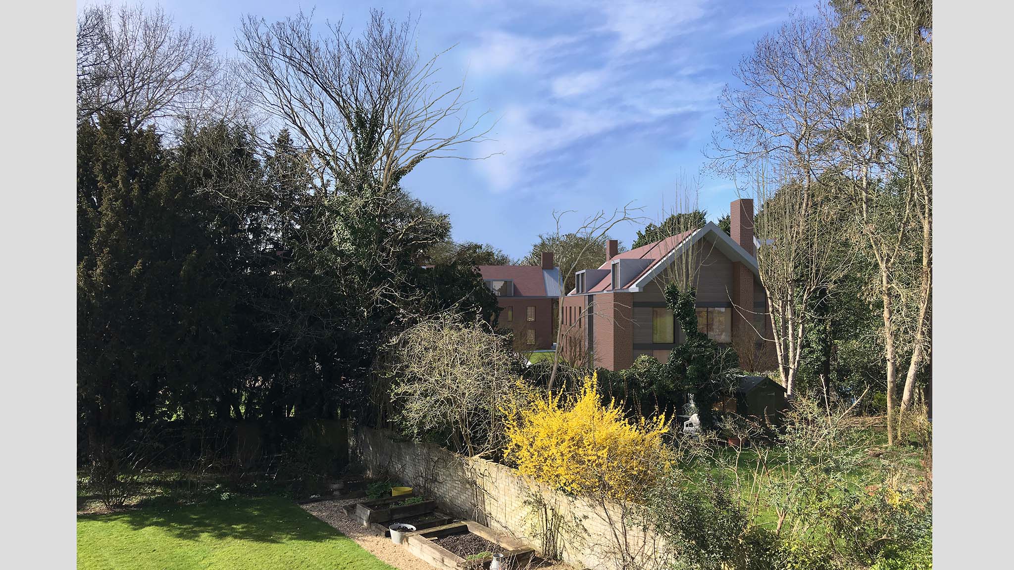
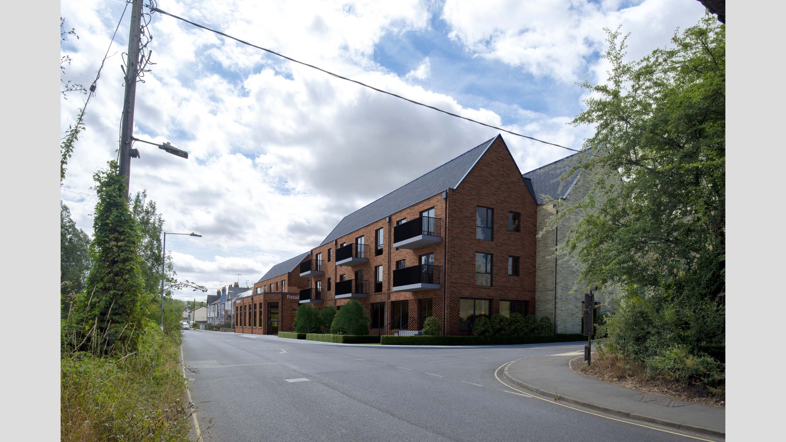
Full proposed material model
A fully rendered model with proposed materials and accurate replication of the lighting conditions in the photograph.
How to Get Started, and a Timeline
To provide a free quotation we need a brief description of the Verified View or Views you require, with a copy of any relevant photographs and drawings you may have at this stage.
Our priority is to ensure you get exactly what you want. We will listen carefully to your comments and we will always make our own suggestions clear.
Once started, this type of project is usually completed in 1-4 weeks, depending on its scope.
Featured Projects

TfL South Kensington

Lyndhurst Terrace

Stoke Poges

Princes Risborough

Whitchurch Hill

Leigham Court Road

Kelvedon
Ready for the next step?
If you’d like to find out more about Verified Views, the techniques we use, and how we can help you, please get in touch.
Call us on 020 3808 8234, use our enquiry form, or email us via enquiry@renderedimage.uk